

This is a challenging walk and requires some preparation. You need to be fit, have some walking experience in hilly and rocky terrains, have the correct shoes and get your timing right.
In return you will be rewarded with the most spectacular view of the Forest. The route passes through a boggy area that is wet most of the year and in winter requires waterproof boots.
It also uses a permissive path that is closed at dusk. The 3 ½ miles will take approximately 2 hours and takes you through the Outwoods to Buck Hill, thought by many to be one of the finest walks in Charnwood Forest Regional Park.
Directions
- Start from Nanpantan Sports Ground car park on Watermead Lane, off Nanpantan Road in Loughborough at SK517175, post code LE11 3TN. From the car park entrance climb the earth bank and take the farm track left alongside the next three fields. At the private/footpath sign turn right and follow the hedge line up to The Outwoods on the skyline.
- The Outwoods are ancient woodlands that have been recorded for over 500 years. It has rare rock formations and is a Site of Special Scientific Interest. Pass through the gate on the edge of the woods and keep right on the main path for a few yards until there is a right turn onto a minor footpath, by the notice board. This footpath takes you thought a newer plantation, Jubilee Woods, but you will come back to The Outwoods later on the walk.
- Parts of the path cross a boggy area with splendid sharp green mosses and lichen. Where the path reaches a T junction; just before a field, turn left and continue to the opening to the road at a double gateway.
- Cross Woodhouse Lane with care and take the permissive path offset to your right. The path skirts woodland, beside a dry stone wall which is a typical feature of the Charnwood Forest.
- At the gate, go left across the field towards the high mound ahead that is Buck Hill. Go through the gate into the woodland area and find your way up over the rocks to the top. Stay and catch your breath after the steep climb and take in the wonderful views around the Forest. Summer and Winter the views are good although very different.
- Continue over the hill and descending the other side and at the bottom of the slope you go over another stone wall and the footpath divides.
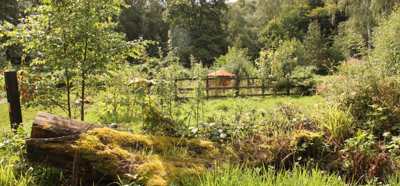
- Take the route left that leads you back to Woodhouse Lane. Turn right there and make use of the wide grass verge to continue along the roadside for 200yds until you reach The Outwoods car park. Cross the road into the car park where you will find a new visitor centre, cafe and toilets. Cross the car park to the wooden fence surrounding a conservation area and go round to the right keeping the fence on your left, and going downhill to meet another path.
- Continue to follow the fence around to the left until you reach an open area. Here the path bends right around the open area and the charcoal kiln. Go past and turn right. The path runs along a stream bank. Continue along this route until you get back to the gate at the entrance you arrived at earlier on the walk.
On the way are seats where you can pause to see the extensive view over Loughborough and the Soar Valley, with the wolds of East Leicestershire behind. There are also impressive rocky outcrops soaring above the route. Through the gate and back down the fields to the farm track. Left along the track a short way to a footpath sign off to the right. At this junction there is a gateway entrance into the Sports Ground and a short cut back to the car park.
